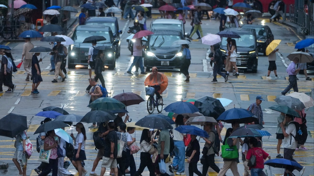
You wake up at 5:30 AM to the familiar ping of your phone. The Hong Kong Observatory has just hoisted the amber rainstorm warning. For most people, it's a cue to roll over, grab an extra twenty minutes of sleep, and complain about a damp commute. Amber is just the lowest tier, right? It's nothing compared to the drama of a Black Rainstorm.
That mindset is dangerous.
The downpour that lashed the city on Tuesday morning proved exactly why treating an amber signal as a minor inconvenience is a mistake. By the time the warning was cancelled, the Drainage Services Department had already recorded 11 confirmed flooding cases across the territory. While the urban centers of Hong Kong Island got off relatively easy, parts of Tsuen Wan were absolutely pounded with over 70mm of rain. Up north, the situation looked even worse.
If you think a color-coded weather alert guarantees your neighborhood will stay dry, you don't understand how Hong Kong topography works.
Inside the July 7 Storm Surge
The skies opened up early. The Observatory officially raised the amber signal at 5:30 AM as an active southerly airstream teamed up with upper-air disturbances to dump an absolute wall of water over the region. It didn't take long for the infrastructure to feel the strain.
By 7:30 AM, the Drainage Services Department was forced to activate its emergency control centre. This wasn't a standard, passive monitoring job. They threw more than 60 emergency teams directly into the field to clear blocked drains, monitor rising water levels, and manage structural risks.
Look at how fast things escalated in the northern New Territories. At 8:23 AM, meteorologists put out a special announcement targeting flooding in low-lying northern areas. Villages in Pat Heung, Kam Tin, Sheung Shui, and Ta Kwu Ling suddenly found themselves fighting rising waters. By 11:00 AM, 11 distinct instances of flooding were officially logged.
The government deployed massive, remote-controlled drainage robots to clear out clogged channels that were too deep or dangerous for human crews. Six of those 11 cases were resolved relatively quickly, but the remaining five required intensive, manual intervention. It shows that even a localized cell of intense rain can quickly overwhelm regional defenses.
Why Yuen Long Bears the Brunt of the Damage
When heavy rain hits Hong Kong, the headlines almost always point to the exact same spots: Yuen Long, Tin Shui Wai, and the surrounding northern villages. This isn't a coincidence. It's a direct result of geography mixed with rapid development.
The northern New Territories features wide, low-lying plains surrounded by hills. When a storm cloud hangs over the mountains, all that water rushes downhill into natural basins. Historically, these areas were farmland and wetland. They acted like giant natural sponges that absorbed excess water.
Now, look at the change. Decades of paving over green spaces for village houses, container storage yards, and modern high-rises have stripped away that natural defense. Concrete doesn't absorb water. It redirects it. When a localized heavy rain advisory warns that Yuen Long could see or has already seen hourly rainfall cracking the 100mm mark, that water has nowhere to go except into the streets and village pathways.
The Yuen Long Nullah—the massive concrete channel running through the district—frequently rises right to the very brink of its walls during these events. If you live in a village house in Pat Heung or Kam Tin, your driveway can turn into a rushing river in less than fifteen minutes.
The Flaw in Relying Solely on Warning Colors
The biggest misconception about the Hong Kong weather warning system is that the colors represent absolute safety levels for everyone. They don't.
The system relies on regional averages and specific thresholds:
- Amber: More than 30mm of rain an hour has fallen or is expected generally across the city.
- Red: Rain exceeds 50mm an hour and has fallen over a wide area.
- Black: Rain exceeds 100mm an hour and is prolonged.
Here is the catch. The system measures the city generally. On Tuesday, while the broad classification remained Amber, Tsuen Wan was actually experiencing Black-level rainfall intensity at 70mm an hour. Yuen Long faced isolated pockets of water that far exceeded the 30mm threshold.
If you wait for a Red or Black signal to take precautions, you're already too late. Flash floods don't care about bureaucratic designations. By the time the Observatory collects enough data from automatic rain gauges to justify upgrading a signal citywide, your underground parking lot or ground-floor shop might already be sitting under two feet of muddy water.
Real Steps to Take Before the Next Cloudburst
Storms are getting more intense and harder to predict. You can't change the weather, but you can change how you prepare for it. Stop looking at the color of the signal and start looking at what's happening outside your window.
For Village Residents and Low-Lying Property Owners
Do not leave loose items in your courtyards or paths. Plastic chairs, empty bins, and construction debris get swept away easily. They end up wedged tightly inside drainage grates, instantly creating an artificial dam that floods your home.
Invest in portable, lightweight flood barriers or sandbags if your property sits below road level. Keep them near your entrance. When the Observatory drops a localized heavy rain advisory for your specific district, deploy them immediately. Don't wait for the water to hit your doorstep.
For Drivers and Vehicle Owners
If you park your car in an outdoor, low-lying lot or an underground garage with a history of minor pooling, move it. Tuesday's storm proved that local drainage systems can choke rapidly.
When you are out on the road during a sudden downpour, keep away from the edges of the highway where debris tends to pool and block curbside drains. If you encounter a flooded road segment where the water depth is unclear, turn around. It takes surprisingly little moving water to float a standard sedan or stall an engine, leaving you stranded in a rapidly worsening hazard.
For Daily Commuters
Stay clear of natural watercourses and concrete nullahs. A peaceful concrete channel can transform into a violent, roaring torrent within minutes due to upstream runoff. Keep your phone updated with the Hong Kong Observatory app, but pay specific attention to the "Regional Weather" tabs and localized warnings rather than just the main banner signal.
The amber rainstorm warning has been cancelled for now, but the unsettled southerly airstream is sticking around. More heavy showers are on the horizon. Assume the next Amber warning will hit your neighborhood just as hard as Tsuen Wan or Yuen Long got hit on Tuesday. Prepare accordingly.